CFLT

News & Insights

mount brandon from teer 2

WALKING TRAIL

Mount Brandon from Teer via Más an Tiompáin

  • 17 km / 10.5 miles / Ascent: 925 metres
  • 7 hours
  • Strenuous

Start / Finish: Teer car park

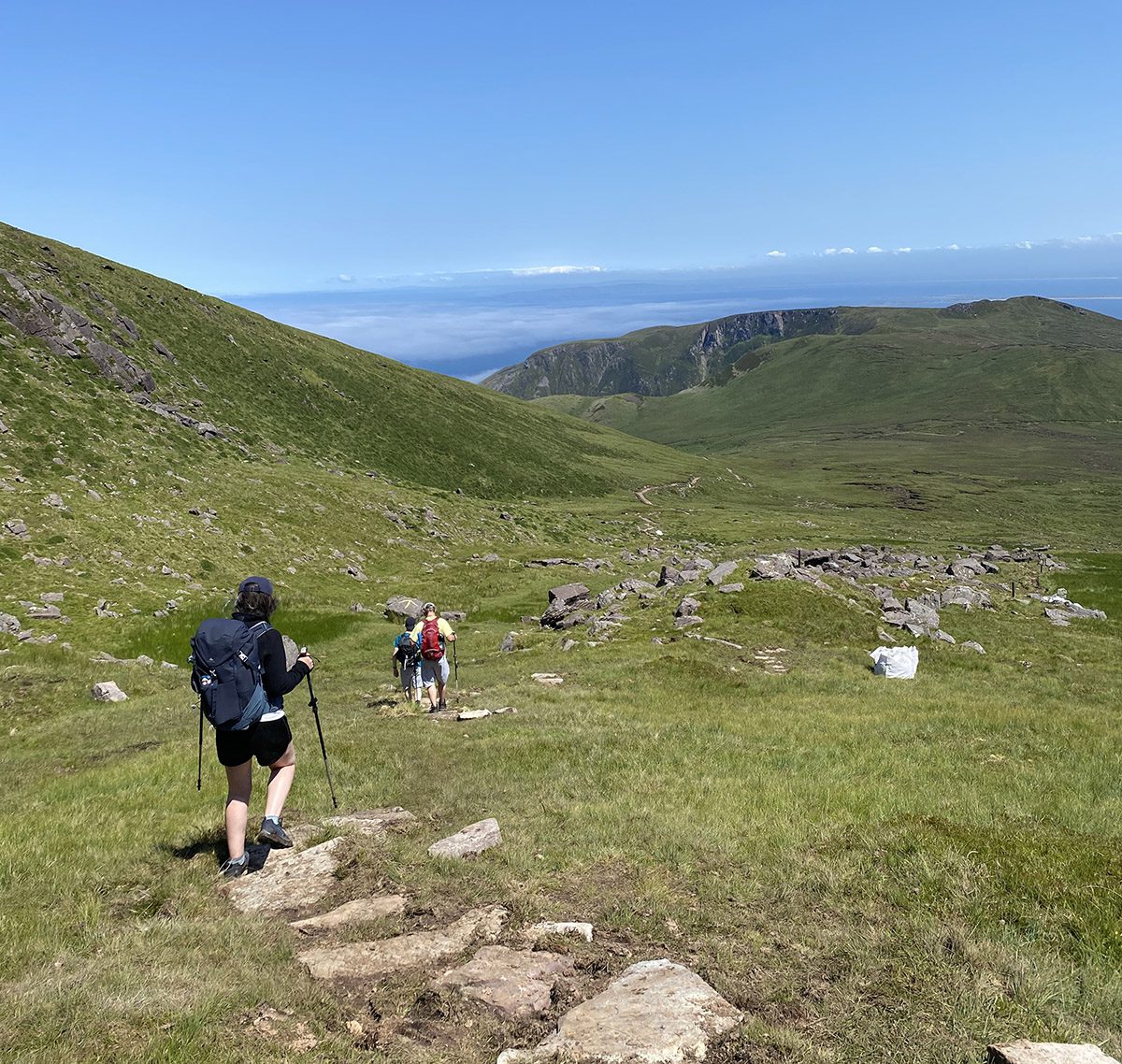
Route: The walk begins at Teer car park. Follow the unpaved road and The Dingle Way signs into Arraglen. Here you will see the remains of an old deserted village. One hut is still in use, it has a green roof on it and can be used for shelter. From the hut follow the stone path to your left and the Dingle way signs up to the top of the stepped steep climb, where the ground levels out at a saddle in the hills. You will see to the right the short steep slope of Más an Tiompáin. On your left, you will see an ogham stone. At the ogham stone, you turn left and follow the ridge. Ahead of you will see two small hillocks Piaras Béag and Piaras Mór, pass below them and keep following the ridge until you come to the top of the Esk. From here it is only a fifteen-minute walk to the summit of Mount Brandon.

-Yellow markers to the saddle near Más an Tiompáin 

From the summit, you can retrace your route back to where you started or you could take the Esk route which will bring you directly down Mount Brandon which will bring you to the Faha car park. Do not attempt to do this walk in high winds or foggy conditions

– No waymarking to the summit of Mount Brandon from the saddle at Más an Tiompáin .

Testimonials

What people are saying about us

  • Character building hike

    Started from the faha carpark by the grotto, through sheep pastures up to the stony narrow walk along the edge of the valley. There’s a bit of scrambling on the vertical rise from this point up to the top, then a short walk along the top to the peak.

    J Sheehan

    – May, 2022

  • A nice hike in rain and sun.

    Great mountain to climb research the routes the tourist route is ok but the other routes can be more challenging but great views of Tralee bay.

    Traveler86

    – July, 2021

  • Lovely

    Absolutely stunning! Breath-taking views (which I partly saw on google as it was covered in clouds in a day we went there. Well marked so it is hard to get lost. The first part (app. 1,5km) can be slightly hard and long, but it gets better later

    Anna M

    – July, 2021

  • Great climb, with varied terrain

    Really nice climb to the summit, with an easy to follow trail. Just go up by the grotto at the start and you can’t go wrong. Varied terrain and beautiful views throughout, keeping things interesting for the 4 hours round trip. Highly recommended.

    Johnhdub

    – September, 2019

  • Stunning

    Spectacular views – take the time to climb around everything that you see. From the top, you will have a great view – maybe a low cloud sitting between two ridges?

    Frederick, MD

    – September, 2019

  • Great walk up Mount Brandon

    What a special place!! It’s a bit of a hard walk up, but the white posts and crosses mean you can’t get lost when the mist descends. Epic views and very atmospheric in the swirling mist on the day we were there. But folks… Please! Please! Take home your orange peel and banana skins! They don’t belong strewn on top of such a beautiful mountain.

    Sam V

    – June, 2019

NEWSLETTER

Keep up with the latest NEWS, Walking trails & events at cloghane brandon

subscribe
Back to Top